Cartographic and Landscape Interpretation Services
We provide maps and cartographic, editorial and design services to the tourism, environmental, publishing and heritage interpretation industries. Over forty years’ combined experience in cartography, and in the use and delivery of geographic information, equip us to create maps and interpretive material specifically to meet the needs of our clients and their end-users.
BESPOKE MAPS
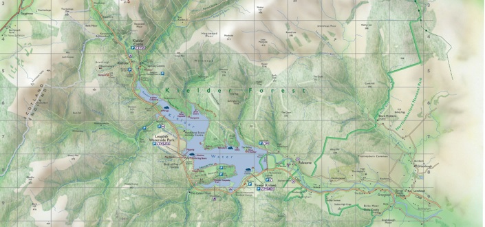
We create maps of all kinds, from topographic and illustrative maps to town plans and walking maps. We always look to work closely with our clients to ensure that their requirements are met and that we produce maps in styles appropriate for their publications. Examples can be seen on the samples page.
LICENSED MAPS
We hold a wide collection of our own maps, particularly of Scotland, which are ready to use. These can be provided as they stand or adapted for specific publications under competitive licensing terms.
CONSULTANCY
We also offer general cartographic consultancy, including research, map specification and product development, sourcing of information, and writing and speaking on cartography.
-
Using maps to portray the true nature of a place, and to depict something of what a visitor to the area will see and experience, is a challenge we welcome. Maps can inform, guide and inspire if designed correctly.
© Ashworth Maps and Interpretation Ltd. No images on this website should be reproduced without the copyright owner’s permission.
MAPPING AND INTERPRETING OUR WORLD